Friday, May 21, 2010

ah i'm finally here heh

HI MY DEAREST CLASSMATES I HAVE SOMETHING AMAZING TO SHOW YOU GUYS.


*GASPS* OMG DON'T YOU FIND THIS FAMILIAR?!
okay yes it's found in nj of course. but isn't this amazing, i mean,
IT'S A DRAIN. :O

okay let me tell you more about this seemingly insignificant drain okay :)

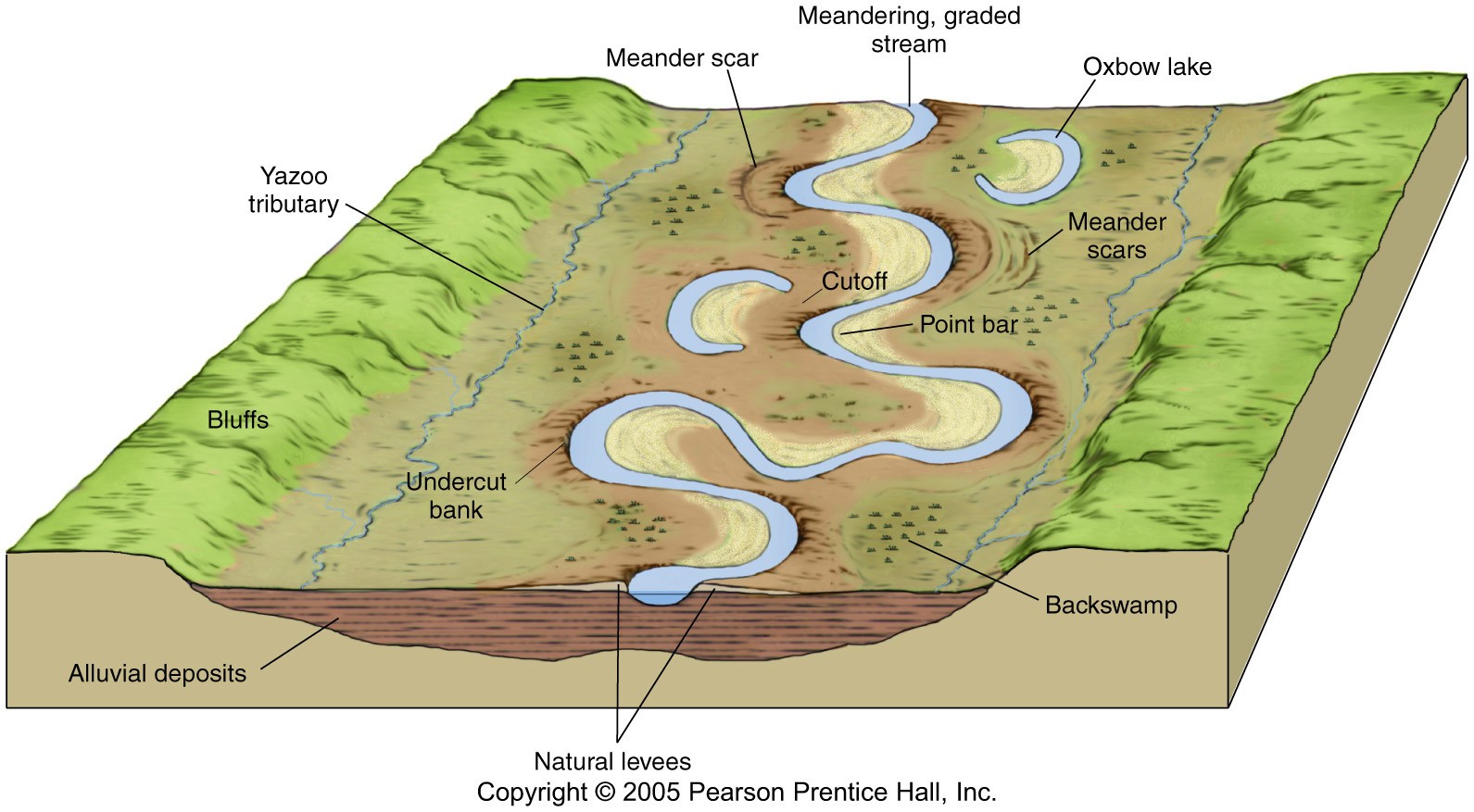
This drain is part of a larger system, which is known as the drainage system/basin. Drainage systems are commonly found in urban areas, which includes Singapore. Drainage systems play an important role in preventing flooding and controlling water flow in different areas.

When precipitation occurs, interception of the water by the grass (vegetation) occurs, resulting in infiltration of water. However, some of these precipitation falls straight into the drains, which will then flow down till it reaches a bigger channel, where all the big channels will then combine to form the channel storage (river).

Precipitation can also reach the channel storage via throughflow, which means water moving through the soil, and overland flow, which refers to water over the surface of the ground.


Here's where the drain from the above diagram links to!

Hope this is useful in helping you understand the importance of drainage systems! :)

-Shumin!

Drainages in Singapore


This is a picture indicates the drainage system in our Boarding school, which could be considered as a failure, I think. From the picture, it is clearly showed that the purpose of building such drainage system is to drive excess water away from the ground level. From the hole on the wall, we can predict that ground flow will occur. This is due to the fact that the lower level of the drainage. Water flows from high altitude to low altitude. In this sense, it would be nature to drive all the water when experiencing raining days. However, there is a problem underlying with this whole system. As clearly shown from the picture that water accumulates there, in this case, the whole drainage does not work within its full potential. We can clearly tell that water cannot go through the concrete wall. In this sense, we could try to build more holes so that water can come through.
Shengmu

ox bow lake


OX BOW LAKE.

sup peeps. its cheng yang here. im blogging about the ox bow lake! (moooo lol) anyway, i have no idea why its called an ox bow lake. (it says after researching on google that its cause it looks like the bow of the yoke used with oxen). Anyway, heres how an ox bow lake is formed:

  1. there is a meander from the main stem
  2. normally, water will flow according to the meander
  3. however, when there is a flood the river would cross over the land onto the other end of the meander
  4. if there is alot of water crosses over a long period of time, the land erodes
  5. the eroded things are deposited at the start and ends of the original meander
  6. cutting off the meander from the main stem, creating an ox bow lake

on a side note, its also called a billabong in australia(now we know where that name came from!)

hope you understand how its formed now!!!

byeeee

cheng yang.

River Delta

Up: Ural river delta (Bird-foot shape)
Down: Nile river delta (Delta shape)

A delta is a landform that is created at the river mouth where that river flows into an ocean, sea, estuary, lake, reservoir, flat arid area, or another river. Deltas are formed from the deposition of the sediment carried by the river as

the flow leaves the mouth of the river. Over long periods of time, this deposition builds the characteristic geographic pattern of a river delta.

(Wikipedia definition)


What is sediment?

Sediment is naturally-occurring material that is broken down by processes of weathering and erosion, and is subsequently transported by the action of fluid such as wind, water, or ice, and/or by the force of gravity acting on the particle itself.

(Wikipedia definition)


In this case, sediment that are deposited in a river delta is often very fertile, therefore most of the agricultural activities are on river delta.


How sediment is deposited?


When the river channel's flow enters a standing water (non-moving water), since the width of the channel is expanded, its flowing speed decreases. When it decreases, sediments starts to dropping out of the flow, and deposit.

Sediment could also deposit in the middle of the river, since the slope decreases. Deltas are formed.


Based on what erode the delta, which could be river flow itself, the waves, or tides, different type of delta which have different shape, will be formed.


Those types are

_ River-dominated delta: Bird-foot shape

_ Wave-dominated delta: Delta shape (Greek capital Delta)

_ Tide-dominated delta: Dendritic structure.

...


Vu Xuan Kim Cuong


hi hi. this is the drainage canal at bishan park. nice right?? anyways. most of the small drains around the area drains into this larger drain which then carries the water to either the sea or other reservoirs. did you all know that most of our drainage systems collect rainwater and then transports them to the 17 reservoirs around Singapore?? cool right? :D this allows Singapore to harvest urban stormwater on a large scale for its water supply so we have more water to drink YAY! :D

~xinxian

Floodplain


Introduction
A floodplain is flat land adjacent to a stream or river that experiences occasional or periodic flooding. It includes the floodway, which consists of the streamchannel and adjacent areas that carry flood flows, and the flood fringe, which are areas covered by the flood, but which do not experience a strong current.

Physical geography

Floodplains are formed by a meander eroding sideways as it travels downstream. When a river breaks its banks and floods, it leaves behind layers of rock and mud. These gradually build up to create the floor of the flood plain. Floodplains generally contain unconsolidated sediments, often extending below the bed of the stream. These are accumulations of sand, gravel, loam and silt, and are often important aquifers, the water drawn from them being pre-filtered compared to the water in the stream.Geologically ancient floodplains are often represented in the landscape by fluvial terraces. These are old floodplains that remain relatively high above the present floodplain and indicate former courses of a stream.

The floodplain during its formation is marked by meandering or anastomotic streams, ox-bow lakes andbayous, marshes or stagnant pools, and is occasionally completely covered with water. When the drainage system has ceased to act or is entirely diverted for any reason, the floodplain may become a level area of great fertility, similar in appearance to the floor of an old lake. The floodplain differs, however, because it is not altogether flat. It has a gentle slope down-stream, and often, for a distance, from the side towards the center.

Ecology

Floodplains can support particularly rich ecosystems, both in quantity and diversity. They are a category of riparian zones or systems. A floodplain can contain 100 or even 1000 times as many species as a river. Wetting of the floodplain soil releases an immediate surge of nutrients: those left over from the last flood, and those that result from the rapid decomposition of organic matter that has accumulated since then. Microscopic organisms thrive and larger species enter a rapid breeding cycle. Opportunistic feeders (particularly birds) move in to take advantage. The production of nutrients peaks and falls away quickly; however the surge of new growth endures for some time. This makes floodplains particularly valuable for agriculture.

Markedly different species grow in floodplains than grow outside of floodplains. For instance, riparian trees (that grow in floodplains) tend to be very tolerant of root disturbance and tend to be very quick-growing, compared to non-riparian trees.

Interaction with society

In some tropical floodplain areas such as the Inner Niger Delta of Mali, annual flooding events are a natural part of the local ecology and rural economy, allowing for the raising of crops throughrecessional agriculture. But in Bangladesh, which occupies the Ganges Delta, the advantages provided by the richness of the alluvial soil of floodplains are severely offset by frequent floods brought on bycyclones and annual monsoon rains, which cause severe economic disruption and loss of human life in this densely-populated region.


JH404 Zhang Yiyuan

Drains


Hello, i am here to inform you how a drainage basin works.
Firstly, what is a drainage basin?
It is the area of land of land where water from rain and melting snow or ice drains downhill into a body of water, such as a river, lake or reservoir.
A drainage basin is an "open" system, where it has inputs and outputs.
Inputs include precipitation while outputs include evaporation and transpiration.
So, basically, how does the water move through the drainage system. There are many ways like infiltration, througflow, overlandflow and groundwater flow.
The first picture is a picture of a Singapore drainage basin, also known as the "kelong". It is a channel that transports water to other areas such as the sea.
When there is a high amount of rain, water is not able to infiltrate the ground as the soil is holding its field capacity. When the infiltration capacity is exceeded, water is unable to soak away into the soil and overland flow occurs. This could result in major floods.
Shu Yih