what is a waterfall
A waterfall is a place where flowing water rapidly drops in elevation as it flows over a steep region or a cliff. Some waterfalls are used to generate hydro-electric power.
How does waterfall form?
Waterfalls are most commonly formed when a river is young.
At these times the channel is often narrow and deep. When the river courses over resistant rock, erosion happens slowly, while downstream the erosion occurs more rapidly. As the watercourse increases its velocity at the edge of the waterfall, it plucks material from the riverbed. Whirlpools created in the turbulence as well as sand and stones carried by the watercourse increase the erosion capacity. This causes the waterfall to carve deeper into the bed and to recede upstream. Often over time, the waterfall will recede back to form a canyon or gorge downstream as it recedes upstream, and it will carve deeper into the ridge above it. The rate of retreat for waterfall can be as high as one and half metres per year.
Often, the rock stratum just below the more resistant shelf will be of a softer type, meaning that undercutting due to splashback will occur here to form a shallow cave-like formation known as a rock shelter or plunge pool under and behind the waterfall. Eventually, the outcropping, more resistant cap rock will collapse under pressure to add blocks of rock to the base of the waterfall. These blocks of rock are then broken down into smaller boulders by attrition as they collide with each other, and they also erode the base of the waterfall by abrasion, creating a deep plunge pool or gorge.
Streams become wider and shallower just above waterfalls due to flowing over the rock shelf, and there is usually a deep pool just below the waterfall because of the kinetic energy of the water hitting the bottom. Waterfalls normally form in a rocky area due to erosion. After a long period of being fully formed, the water falling off the ledge will retreat, causing a horizontal pit parallel to the waterfall wall. Eventually, as the pit grows deeper, the waterfall collapses to be replaced by a steeply sloping stretch of river bed
A river sometimes flows over a large step in the rocks that may have been formed by a fault line. Waterfalls can occur along the edge of a glacial trough, whereby a stream or river flowing into a glacier continues to flow into a valley after the glacier has receded or melted. The large waterfalls in Yosemite Valley are examples of this phenomenon. The rivers are flowing from hanging valleys. Another cause of waterfall formation is where two rivers met and one flows faster then the other. The difference in the level of the beds may result in what is called a hanging valley.
Wang Zhaolin
Sunday, May 16, 2010

drainnssssssss


Helloo, i am here to tell y'all more about the drainage system next to bukit timah plaza! :) the pictures above was taken after it rained super heavily, and as you can see, quite alot of the precipitation had flowed into the drain. as you know from the previous posts, the drain above is part of a larger drainage basin system which helps convey water from all around the country to a common area, like a river or a reservoir for Singapore's case :D. the water you see here is probably going to be in your cup next time, after going through cleansing (:
yeah so anyway, heavy rain that day, leading to precipitation percolating into soil and being intercepted by the grass nearby. however, as we can infer from the rainwater in the drain, overland flow occurred, and many reasons can explain for this! for example, the infiltration capacity (the rate of which water soaks into the soil) could have been exceeded; the zone of saturation could have increased, causing the water table to move up and causing the zone of aeration to decrease in size, leading to the soil being too saturated for more intake of precipitation! :( therefore, overland flow into the drains! :D and yepp like what everyone had said, a drainage system is an 'open' system, so evapotranspiration is bound to occur :) we are lucky to have such a drainage system, or else everytime it rains in Singapore, there would be flooding which is baddddd.
okay hope you understood! gogo study for interims NEXT WEEK :( good luckkk 04 <3!
Yuxian! :D
Sunday, May 2, 2010

Hello. Si Jia here(: This is the picture of Kallang Basin. It’s really pretty but my hand sort of covered the bottom of the picture-.- But anyways, you have no idea how big Kallang Basin is! If you have no idea where it is, you can see it from the highway, or at the indoor stadium(: Oh, the water’s super clear too:D
Be glad k! Kallang Basin is like the biggest drainage basin in Singapore! Bet you all didn’t know that this place is being drained by rivers like Kallang, Geylang, Rochor and Whampoa rivers!(: Maybe all your tap water is from Kallang Basin!:O But, it’s clean anyway(:
Yeps, as you all can see, when there’s rain (precipitation), it either flows directly into the drainage basin itself, or it gets intercepted by the grassland at the background. So then, you all better know what will happen, if not you ought to slap yourself! Well, the water gets infiltrated into the soil, then there’s the normal process, the throughflow in the zone of aeration and the baseflow in the zone of saturation:D And the water can then flow towards the reservoirs and rivers nearby((: BUT! Remember, if there’s input, there will always be output too! Must balance right:D The outputs are evaporation and transpiration from the grasslands/trees(:
So cool rights(: You all can totally admire the Kallang Basin and at the same time camwhore:D We can have our next class outing there!(:
Saturday, May 1, 2010

hi everyone. heres the picture of the drain.
its part of a larger system known as the drainage system/basin.
this particular part is a channel and it will flow down till it meets a bigger channel and this channel will join with other channel and finally join with the main river. hence it can be considered as a tributary.
on another note, i would like to point out a difference in the 2 terms which some people use interchangeably but in technical sense is different. they are watershed and drainage basin/catchment area.
now in layman terms and in the U.S. these are used interchangeably, but just to be on the safe side, the drainage basin is the total area of land where water in that land will flow into a body of water (e.g a river) while a watershed is the divide that demarcates and distinguishes/separate one drainage basin from another.
anyways, have a nice long weekend peeps! p.s. we will miss chinese class on mondays for 2 weeks. hoooooorrrrraaaayyyy!
cheers
leonard
Sunday, April 25, 2010
Drainage Basin in our Daily Life
Well drainage basins are very commonly found in our daily life. It is easier to find a drainage basin in an urban city like Singapore. Many drainage basin systems are built to prevent flooding. The one below is one I found near my house.
Contour line diagram of the drainage system (numbers are in cm)

Picture of the Drainage basin
Contour line diagram of the drainage system (numbers are in cm)
Picture of the Drainage basin
 When precipitation occurs water gets intercepted by the grass and other vegetation such as the mimosa. Some water gets infiltrated and through throughflow and baseflow water from zone of aeration and zone of saturation flows into a nearby reservoir. Some of the precipitation falls directly into channel storage (drain) and flow through channel flow into the underground water storage. Water that does not get infiltrated through surface runoff enters the channel storage and from there it flows (channel flow) into a reservoir nearby .Some of the water that are trapped in vegetation are lost through evaporation or transpiration. Some water enters the soil through stemflow .Therefore through this we can observe that by allowing nature and technology to work together flooding could be prevented.
Inputs: precipitation
Output: Reservoir, Evaporation, Transpiration
Through this the equation P=Q+E+S is balanced
Enjoy your weekend!!!
Hari Haran
Friday, April 23, 2010
Drainage basin system in our daily life(Mengshan)
Geography is closely related to our daily lives and protects us from miserable disasters, for example, as flooding, Tsunami and etc. Instead of just memorizing the stuffs we learned in class, it is rather more meaningful if we can apply the knowledge in our life and find raw examples in our daily lives. :)
Recap:
 The diagram above shows the how the drainage basin system works.
Here come the pictures of drainage basin systems in the boarding school! :)


Drainage basin system is an example of an “open” system as it has inputs and outputs. This picture above is a typical example of drainage basin system. It has inputs which are the precipitation of raindrops, and outputs-------the evaporation and transpiration.
Basically, when there is a rain fall, most of the water drops will contact with the grassland, though part of it will flow in the sewer (Channel) directly. Water from the grassland experiences interception and finally enter the soil by infiltration. Beneath the ground, there will be through flow which is “water moving through soil” in the area of aeration, base flow which is “water slowly soak into the bedrock ” and enters the area of saturation.
In long-period rain season, the amount of input may surplus the field capacity of the soil and cause overland flow. In the example above, the water will flow into the sewer (Channel) and flow downwards the isohypse lines and prevents the flooding in our boarding school.:)
Recap:
 The diagram above shows the how the drainage basin system works.
Here come the pictures of drainage basin systems in the boarding school! :)

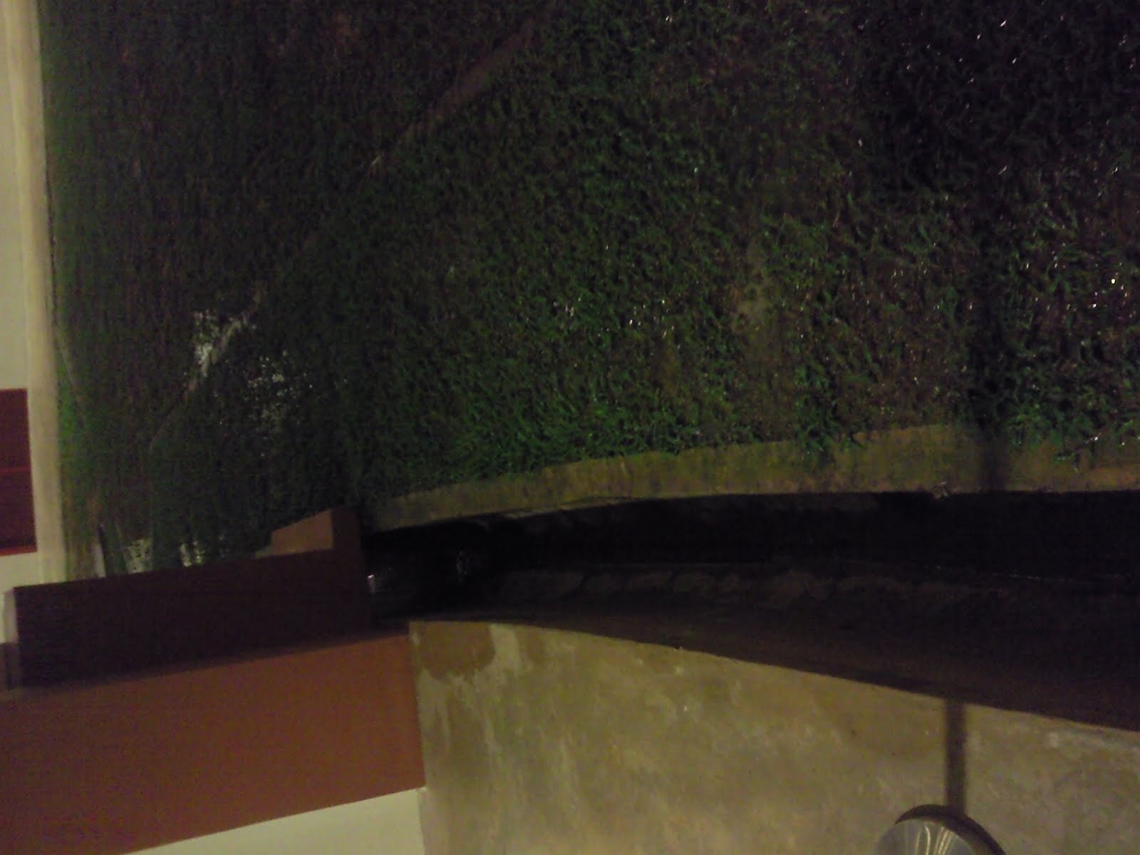
Drainage basin system is an example of an “open” system as it has inputs and outputs. This picture above is a typical example of drainage basin system. It has inputs which are the precipitation of raindrops, and outputs-------the evaporation and transpiration.
Basically, when there is a rain fall, most of the water drops will contact with the grassland, though part of it will flow in the sewer (Channel) directly. Water from the grassland experiences interception and finally enter the soil by infiltration. Beneath the ground, there will be through flow which is “water moving through soil” in the area of aeration, base flow which is “water slowly soak into the bedrock ” and enters the area of saturation.
In long-period rain season, the amount of input may surplus the field capacity of the soil and cause overland flow. In the example above, the water will flow into the sewer (Channel) and flow downwards the isohypse lines and prevents the flooding in our boarding school.:)
Have a nice weekends!:p
by Mengshan
Monday, April 5, 2010
Hi, this is carolyn. ;]
Today's lesson was about the drainage basin. Everything that was on the powerpoint slide is printed on the handout we have so I don't intend to summarize or mention any of it here as reflection. I think constrasting the concepts taught might be more thought provoking actually.
Firstly, we have the difference between infiltration and percolation. Percolation is a subset of infiltration, infiltration represents the overall flow of water into the soil while percolation is specifically, the downward movement of water under the influence of gravity through pores, joints and bedding planes of a permeable rock. Percolation is the flow of water into the zone of saturation while infiltration is the general flow of water into the ground surface layer and because this water flows through both the zone of aeration and saturation, we say that percolation is merely a branch of infiltration.
Secondly, the difference between stream flow and overland flow. Overland flow, as defined by our handout, is water moving above or over the ground. Stream flow comprises of surface and subsurface runoff (interflow and groundwater/base flow) *interflow-infiltration of water by means of gravity toward a stream channel, a long narrow sloping depression on land that is shaped by its flowing water
Lastly, I think that perhaps baseflow and groundwater flow cannot be used interchangeably. Because according to the handout, it states groundwater flow as the soaking of water into the permeable bedrock below water, hence I think it should be a downward motion. However, as we all know, baseflow is the lateral, steady flow of water feeding rivers. Hence, baseflow and groundwater flow are different in concepts. Besides, a book by the american society of civil engineers states baseflow as consisting of slow interflow and groundwater flow.
Today's lesson was about the drainage basin. Everything that was on the powerpoint slide is printed on the handout we have so I don't intend to summarize or mention any of it here as reflection. I think constrasting the concepts taught might be more thought provoking actually.
Firstly, we have the difference between infiltration and percolation. Percolation is a subset of infiltration, infiltration represents the overall flow of water into the soil while percolation is specifically, the downward movement of water under the influence of gravity through pores, joints and bedding planes of a permeable rock. Percolation is the flow of water into the zone of saturation while infiltration is the general flow of water into the ground surface layer and because this water flows through both the zone of aeration and saturation, we say that percolation is merely a branch of infiltration.
Secondly, the difference between stream flow and overland flow. Overland flow, as defined by our handout, is water moving above or over the ground. Stream flow comprises of surface and subsurface runoff (interflow and groundwater/base flow) *interflow-infiltration of water by means of gravity toward a stream channel, a long narrow sloping depression on land that is shaped by its flowing water
Lastly, I think that perhaps baseflow and groundwater flow cannot be used interchangeably. Because according to the handout, it states groundwater flow as the soaking of water into the permeable bedrock below water, hence I think it should be a downward motion. However, as we all know, baseflow is the lateral, steady flow of water feeding rivers. Hence, baseflow and groundwater flow are different in concepts. Besides, a book by the american society of civil engineers states baseflow as consisting of slow interflow and groundwater flow.
Subscribe to:
Posts (Atom)